Aerial City Rendering
Individual project for Digital Drawing studio course at the University of Michigan, 2016
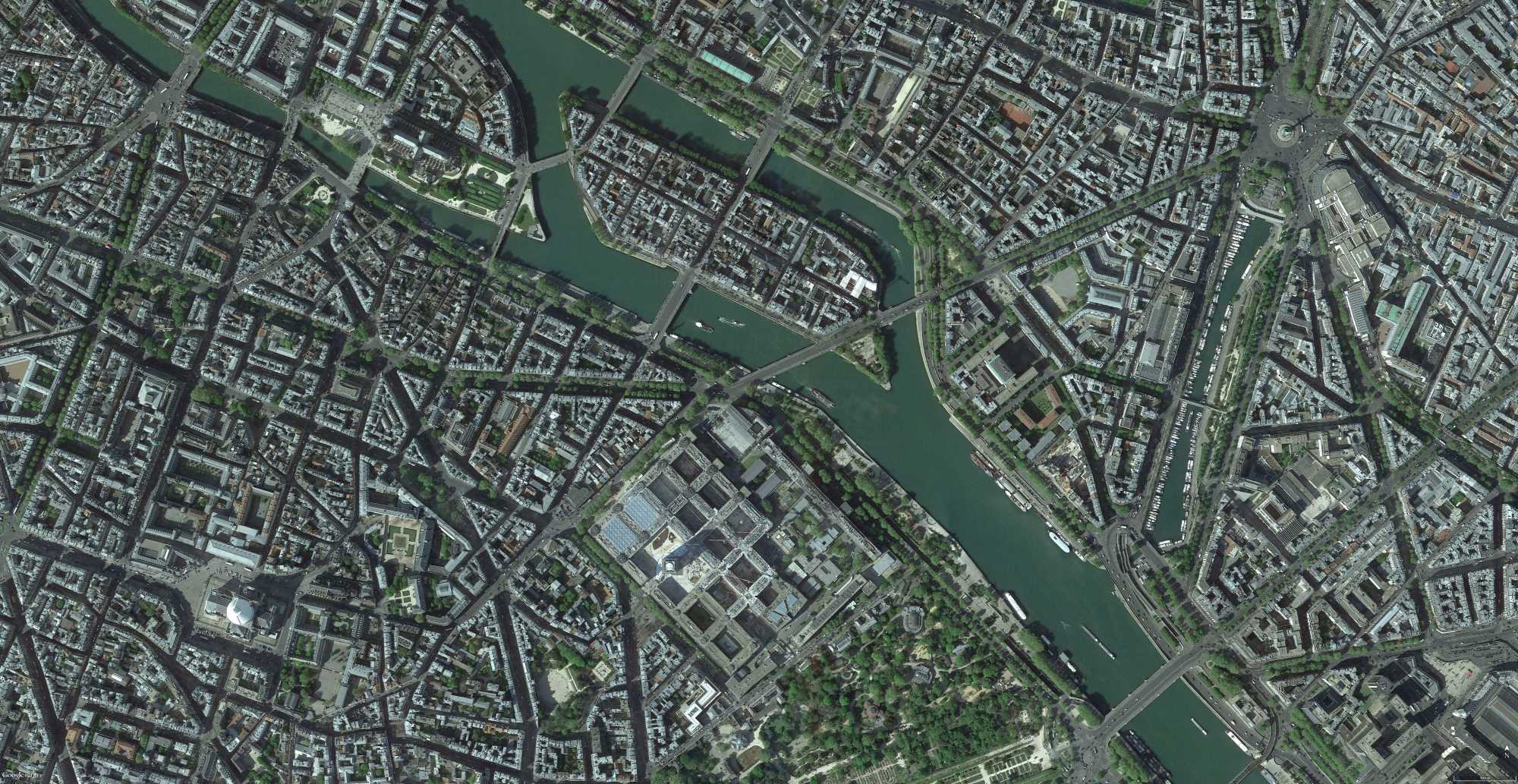
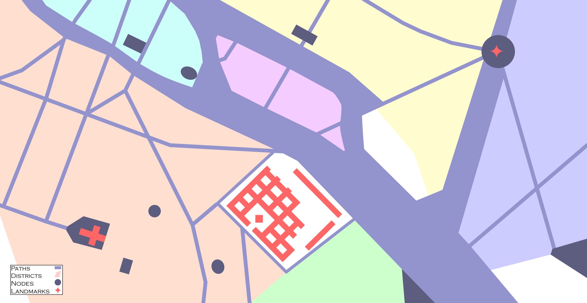
The purpose of this project was to learn to use Rhino 3D and Adobe Illustrator and demonstrate special awareness. First, In Illustrator, I abstracted an aerial photograph of Paris, France to draw an imagined city plan, highlighting important paths, districts, nodes, and landmarks.

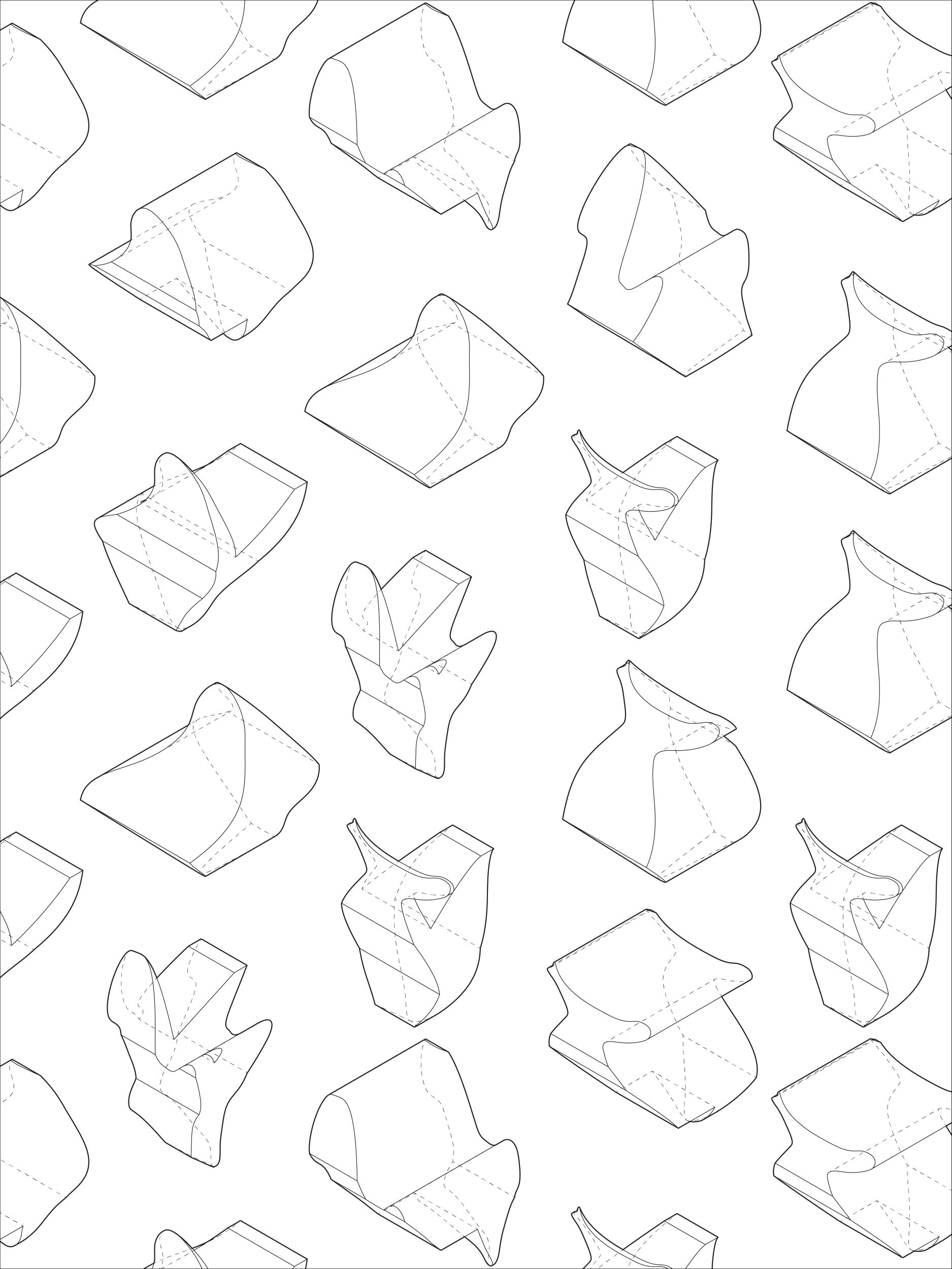
Next, using Rhino, I created abstract objects to practice 3D manipulation techniques. These were formatted for display and critique in Illustrator.
Finally, I created the final aerial view of the imagined city by arranging abstract objects according to the city plan. This was assembled in Rhino, rendered with V-Ray, and altered in Illustrator and Photoshop. The final rendering is a view from the top right toward bottom left of the city plan.


