Transportation Planning Maps
Professional work as a transportation planning intern at the Raleigh Department of Transportation, 2018
During this summer internship, I gained exposure to challenges associated with a multimodal transportation program, one of which being existing traffic. Two of my projects used ArcGIS to assist with future traffic mitigation efforts.
Traffic Trends
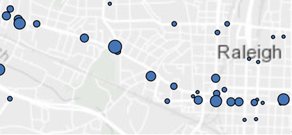
Traffic in Raleigh has generally increased since 2000 as the population has grown. This increase in traffic makes roads more dangerous for pedestrians. To combat this, the city has implemented road diets in some pedestrian-heavy thoroughfares to slow down and reduce traffic. My first project mapped traffic trends in Raleigh from 2000 to 2018 using annual average daily traffic data and demonstrated that road diet projects had been successful at reducing traffic. This map is useful for identifying other roads that could benefit from similar attention.
Traffic Studies
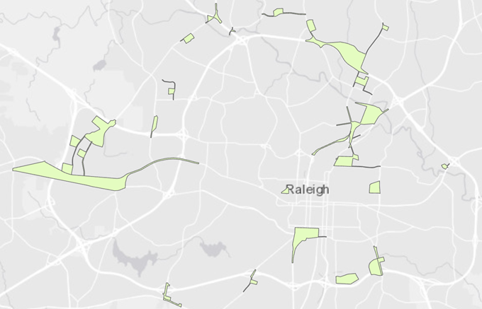
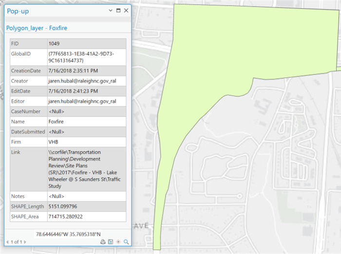
Each year, around a hundred developers submit applications for new developments around the city. A handful of these applications project to have significant impacts on the traffic around their site, requiring the developer to perform an additional traffic study. Previous studies of nearby sites can be used as a basis of the new traffic study, but there was previously no easy way to locate applicable studies without searching through years of disorganized folders. My second project addressed this problem by creating a GIS map layer that contains the locations of all previous studies. Developers can simply locate their site on the map and easily find all previous studies from the area.


